

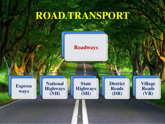
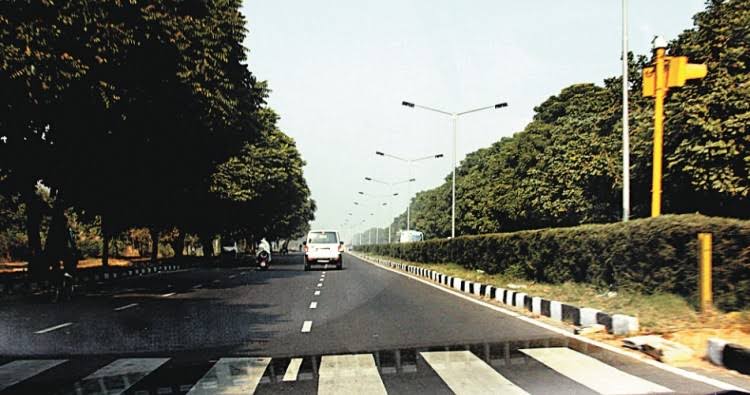
National Highway (NH)🚧🛣 :
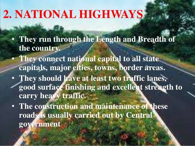
🌟National Highway form the most important system of road transportation in India.
🌟These Highway are running through length and breadth of the country connecting capitals of states, major ports,raji junctions, industrial and tourist centers.
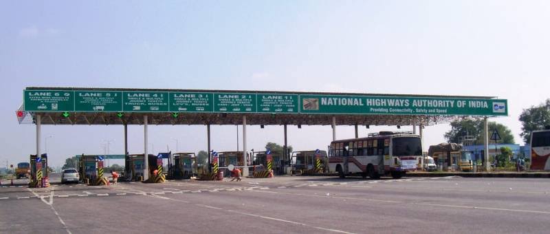
🌟Ministry of Rosd Transport and Highway of India, is responsible for the development and maintenance.
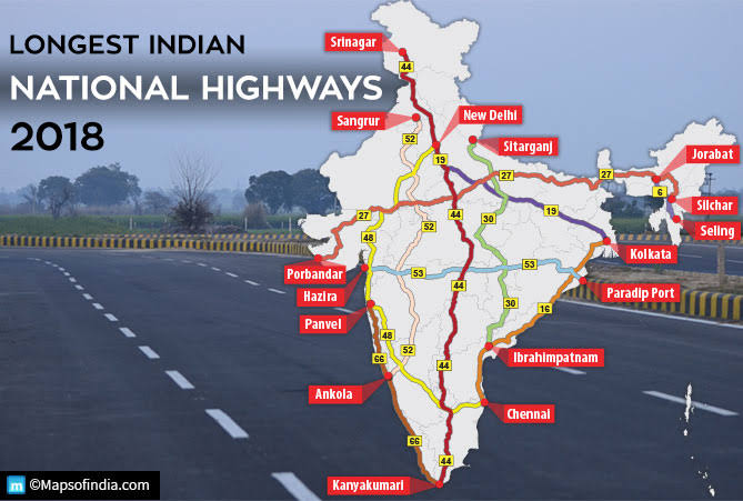
🌟The total length of the National Highway (NHs) in India is 1,01,011 km.
🌟The longest National Highway is NH-7 which runs from Varanasi in Uttar Pradesh to Kanyakumari in Tamil Nadu covering a distance of 2369 km.
🌟The shortest national Highway is NH-47 ,which runs from Ernakulam to Kochi port (Willington Island) covering a distance of 6 km.
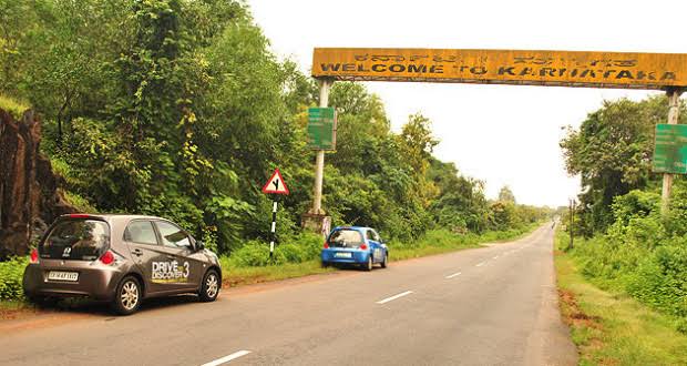
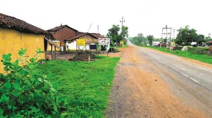
State Highway🛣🚧 :
🌟The state Highway are usually roads that link important cities, towns and district headquarters within the state and connect them with National Highways or Highways of neighbouring states.
🌟These roads are administrated and financed by state governments .
🌟It runs to the length of 1,76,166 km as of 2016.
District Roads 🚧🛣:
🌟District Roads provide connectivity between the District and taluk headquarters with the state Highway and national Highway .
🌟 They are contracted and maintained by the Public Works Department of the states.
🌟The total length of the roads of his category is 5,61,940 km (16.80%) in 2016.
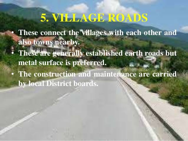
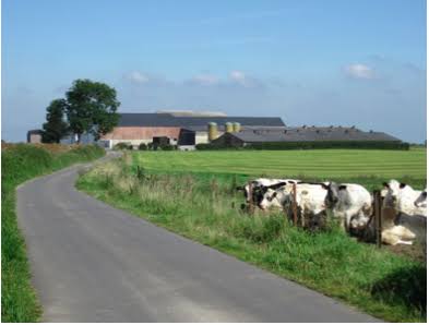
Rural Roads (Village Roads) 🛣🚧:
🌟These Roads are vital providing links in the Rural areas.
🌟They are maintained by the Village Panchayats .
🌟 The total length of Rural roads in India is 39,35,337 km as of 2016.
🌟Rural roads consist of Panchayat roads, of the pradhan Mantri Gram Sadak Yojana (PMGSY) and those constructed by the states PWDs.
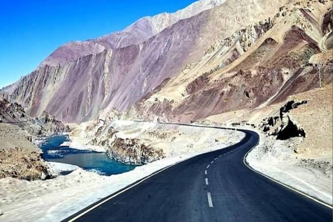
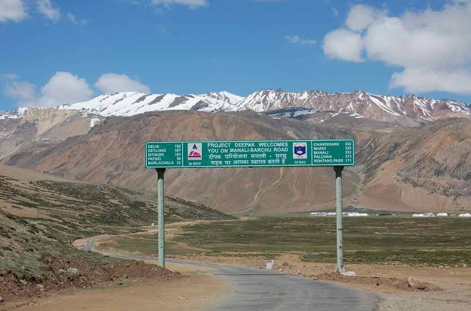
Border Roads🚧🛣 :
🌟These are the roads of strategic importance in Border areas. They are constructed and maintained by Border Roads of Organization.
🌟Border Roads Organization are constructed world’s highest roads joining Chandigarh and Leh in Ladakh .This road runs at an average altitude of 4,270 meters.
Golden Quadrilateral 🛣🚧:
🌟5,846 km long road 4/6 lanes connecting, India’s four metropolitan cities: Delhi-Kolkatha-Chennai-mumbai-Delhi.
🌟This project was launched in 1999.

North-South and East-West corridors 🚧🛣:
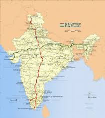
🌟North-South corridors aims at connecting srinagar in Jammu and Kashmir with Kaniyakumari in Tamilnadu (including kochi-Salem Spur) with 4,076 km long road.
🌟The East – West corridor has been planned to connect silchar in Assam with the port Town of Porbandar in Gujarat with 3,640 km of road length.
🌟The two corridors intersect at Jhansi.
Expressways 🛣🚧:
These are multi – lane good quality Highway for high speed traffic. Some of the important expressways are;

- Mumbai – Pune road
- Kolkata – Dumdum Airport road
- Durgapu – Kolkata road
- Yamuna expressways between Delhi and Agra.
- International Highway🚧🛣:
🌟These are the roads that link India with neighbouring countries for promoting harmonious relationship with them.
🌟These Highway have been constructed with an aid from world Bank under an agreement with the Economic and Social Commission for Asia-Pacific (ESCAP).
🌟These roads connect important Highway of India with those of the neighbouring countries such as Pakistan, Nepal, Bhutan, Bangladesh and Myanmar.

You must be logged in to post a comment.