

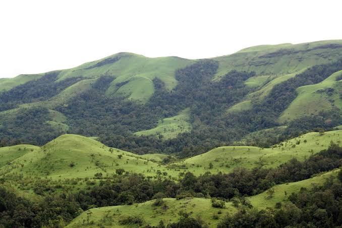
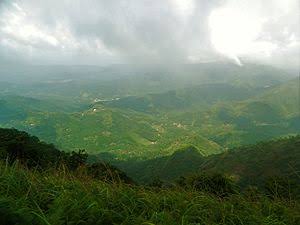
The Western Ghats
Western Ghats extend from the Nilgiris in the north to Marunthuvazh Malai at Swamithope in Kanyakumari district in the south. Height of the Western Ghats ranges from 2,000 to 3,000 meters. It covers an area of about 2,500 sq.km. Though the Western Ghats is a continuous range, it has some passes. The passes are Palghat, Shencottah, Aralvaimozhi and Achankoil. The Nilgiris, Anaimalai, Palani hills, Cardamom hills, Varusanadu, Andipatti and Agasthiyar hills are the major hills of Western Ghats.
Nilgiri Hills
The Nilgiri hills is located in the Northwestern part of Tamil Nadu. It consists of 24 peaks with more than 2,000 meters height. Doddabetta is the highest peak (2,637 meters) of this hills followed by Mukkuruthi (2,554 meters). Ooty and Coonoor are the major hill stations located on the hills. It has more than 2,700 species of flowering plants and the state animal Nilgiri Tahr is found in this hill.
Anaimalai
Anaimalai is located in the border of Tamil Nadu and Kerala. It is located to the south of Palghat Gap. Anaimalai Tiger Reserve, Aliyar Reserved Forest, Valparai hill station, Kadamparai hydroelectric Power Plant are located on this hills. Aliyar and Tirumurthy dams are located at the foothills of this range.
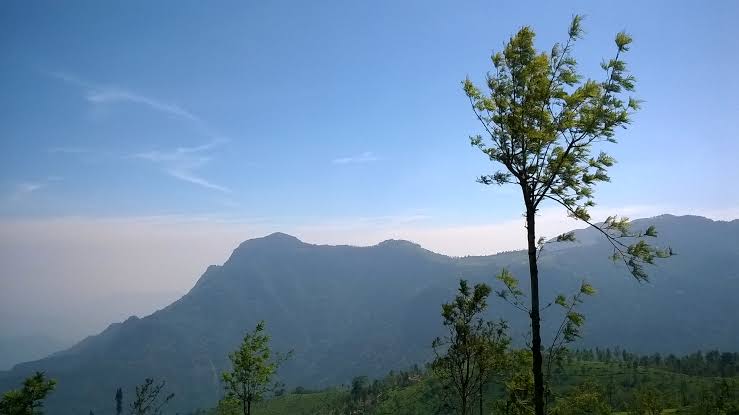
Palani Hills
Palani hills are the eastward extension of the Western Ghats. These hills are located in Dindigul district. Vandaravu (2,533 meters) is the highest peak in the Palani hills. Vembadi Shola (2,505 meters) is its second highest peak. The hill station of Kodaikanal (2,150 meters) lies in the south central portion of the range.
Cardamom Hills
These hills are also known as Yela Mala hills located in the southwestern part of Tamil Nadu. It acquires its name from the cardamom spice, which is commonly grown here. Pepper and coffee are the other crops cultivated over the hills. They meet the Anaimalai hills in the northwest, the Palani hills in the northeast and Varusanadu and Andipatti hills in the southeast.
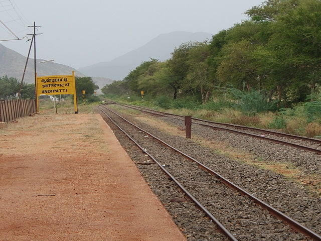
Varusanadu and Andipatti Hills
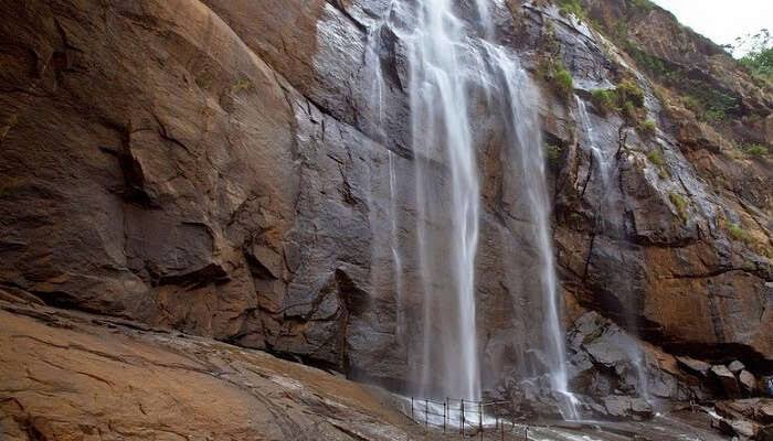
Another eastward extension of Western Ghats is Varusanadu and Andipatti hills. Megamalai (the highway mountain), Kalugumalai, Kurangani hill station and Suruli and Kumbakarai waterfalls are found on these hills. Srivilliputhur Grizzled Squirrel Wild life Sanctuary is located in the southern slope of these hills in Virudhunagar district. Vaigai river and its tributaries originate in this region.
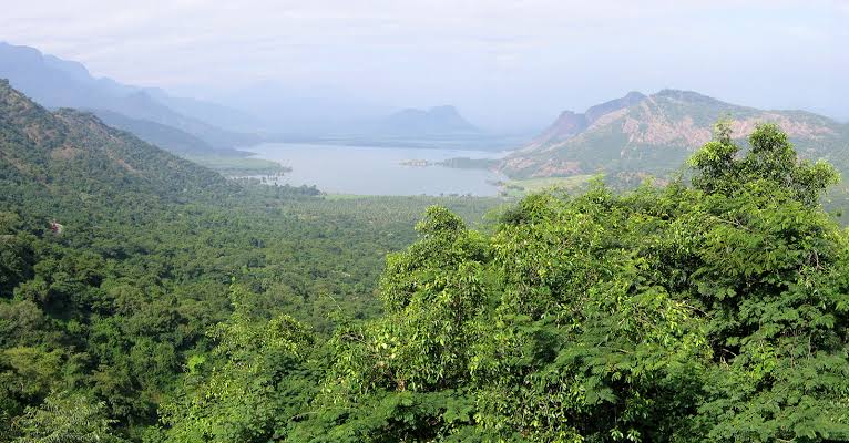
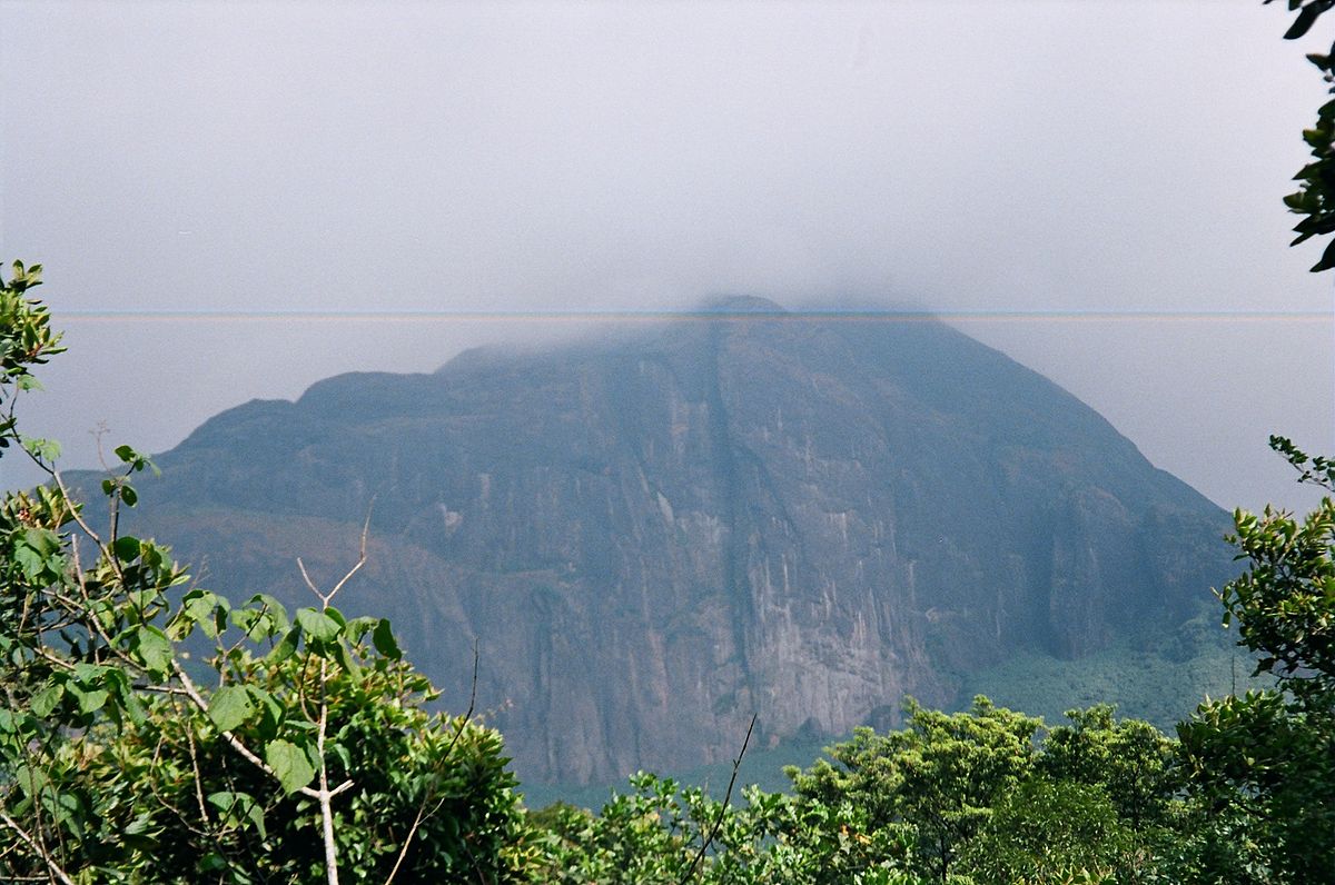
Pothigai Hills
It’s major part lies in Tirunelveli district with its southern slope in the Kanyakumari district. Pothigai hills are called with different names such as the Shiva Jothi Parvath, Agasthiyar hills and Southern Kailash. These hills feature richest biodiversity in the Western Ghats. This area is known for its rich evergreen forest, waterfalls and ancient temples. Kalakkad Mundanthurai Tiger Reserve is located in this region.
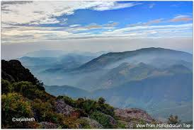
Mahendragiri Hills
This continues range is situated along the border of Kanyakumari and Tirunelveli districts and is a part of the southern range of the Western Ghats. It’s average height is 1,645 meters.
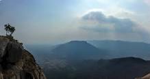
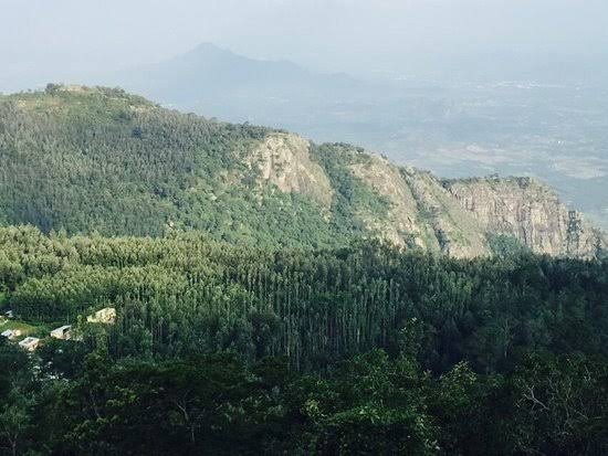
The Eastern Ghats
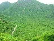
Unlike Western Ghats, Eastern Ghats is a discontinuous and irregular one. It is dissected at many places by the rivers, which drain into the Bay of Bengal. It’s height ranges from 1,100 to 1,600 meters. These hills separate the plains from plateaus. Javadhu, Servarayan, the Kalrayan, Kollimalai and Pachaimalai are the major hills of the Eastern Ghats of Tamil Nadu and are located in northern districts of the state.
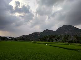
Javadhu Hills
Javadhu hills are an extension of the Eastern Ghats spread across parts of Vellore and Tiruvannamalai districts and separates these two districts. Many peaks with the height of 1,100-1,150 meters are located in this range. Melpattu is its highest peak. Many parts of this range are covered with bluish grey granites. It is noted for its fruit bearing trees, medicinal herbs and sandalwoods. Due to illegal logging, sandalwood trees are disappeared now.
Kalvarayan Hills
The name ‘Kalvarayan’ comes from the word ‘Karalar’, the ancient name of the present tribes. It is another major range of hills in the Eastern Ghats of Tamil Nadu. This range, along with the Pachaimalai, Aralvaimozhi, Javadhu and Servarayan hills, separate the river basins of Cauvery and Palar. The height of this hill ranges from 600 to 1,220 meters.
Servarayan Hills
It is a mountain range located near the Salem city with the height ranging from 1,200 to 1,620 meters. The name of the range comes from a local deity, Servarayan. The highest peak in the southern part of the Eastern Ghats located in this range. The peak is Solaikaradu and its height is 1,620 meters. The hill station Yercaud, which is known as poor man’s Ooty, is located on this range. Servarayan temple is its highest point (1623 meters).
Kolli Hills
It is a small mountain range located in Namakkal district. It covers an area of about 2,800 sq.km . It rises up to 1300 meters. This is a mountain range that runs almost parallel to the east coast of South India . Arpaleeswarar temple located on this range is an important pilgrims centre. It has the largest cover of evergreen or shola forest when compared to other parts of the Eastern Ghats. Several coffee plantations, fruits, flowers and silver-oak estate are found in this region.
Pachaimalai
It is the lowest hill range , spreads over the districts of Perambalur, Tiruchirapalli and Salem. In Tamil language, pachai means green. The vegetation in this range is greener than the vegetative cover of the other hills in this region. Hence it is named as ‘Pachai malai’. Jackfruit is a popular seasonal agricultural product of this hills.

You must be logged in to post a comment.