

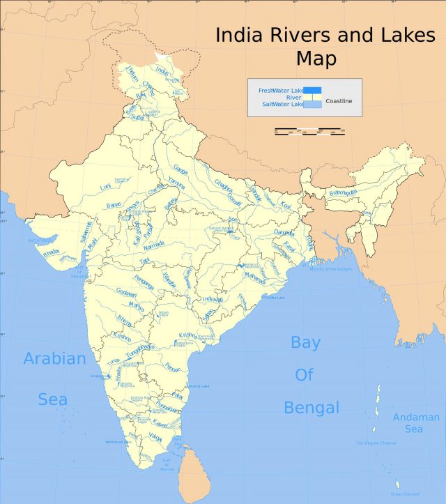
A drainage system is an integrated system of tributaries and a trunk stream which collects and drains surface water into the sea, lake or some other body of water. The total area drained by a river and its tributaries is known as a drainage basin. The drainage system of India is broadly divided into two major groups on the basis of their location. They are Himalayan rivers and the Peninsular rivers.
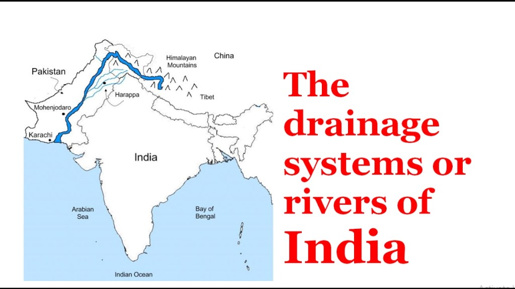
Himalayan Rivers
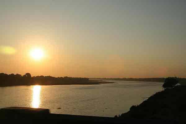
These rivers are found in north India and originate from Himalayas. So, they are also called as Himalayan rivers. These are perennial rivers.
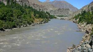
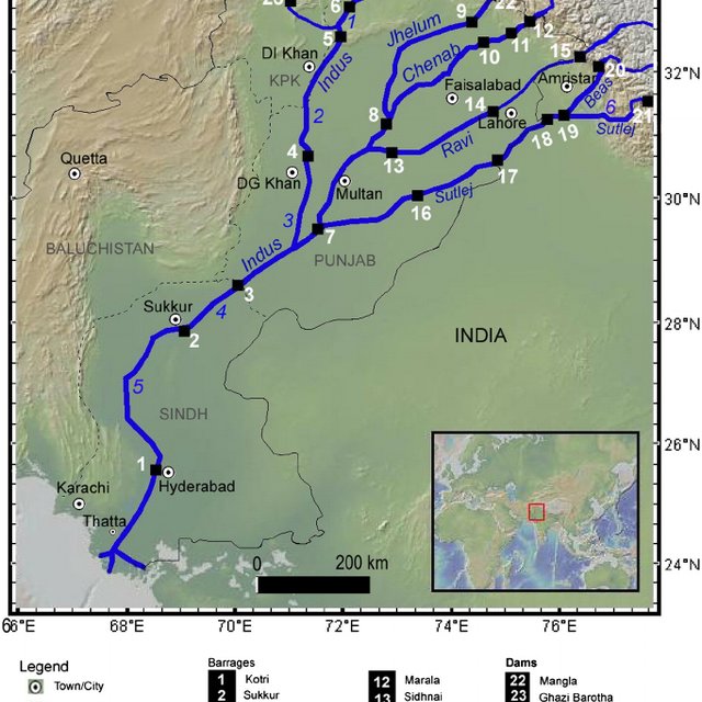
The Indus River System
The Indus River is one of the largest rivers of the world. It originates from the northern slope of the Kailash range in Tibet near Manasarovar Lake at an elevation of about 5,150 m. Its length is about 2,880 km (Only 709 km is in India). The river has a total drainage area extending 11,65,500 sq km in which 321,289 sq km areas are drained in India.
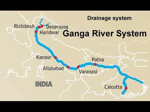
The Ganga River System
The Ganga River System is the largest drainage system of India. It extends over an area of 8,61,404 sq km. The Ganga plain is the most densely populated place in India and many towns are developed on the banks of this river. The river Ganga originates as Bhagirathi from the Gangotri Glacier in Uttar Khasi District of Uttarkhand state, at an elevation of 7,010 m. The length of the river Ganga is about 2,525 km.
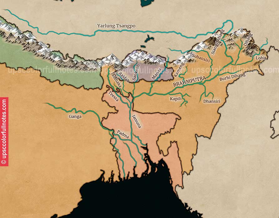
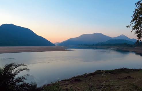
The Brahmaputra River System
The river Brahmaputra originates from the Chemayungdung Glacier of the Kailash range to the east of Lake Manasarovar in Tibet at an elevation of about 5,150 m. The total area is about 5,80,000 sq km but the drainage area found in India is 1,94,413 sq km. This river is known as Tsangpo (Purifier) in Tibet. The length of this river is about 2,900 km (900 km in India).
Characteristic of Himalayan Rivers
✓Long and wide.
✓Perennial in nature.
✓Unsuitable for hydro power generation.
✓Middle and lower course are navigable.
Peninsular Rivers
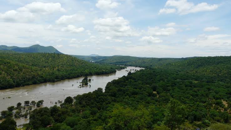
The rivers in south india are called the Peninsular rivers. Most of these rivers originate from the Western Ghats. These are seasonal rivers ( non – perennial ). They have a large seasonal fluctuation in volume of water as they are solely fed by rain. These rivers flow in valleys with steep gradients. Based on the direction of flow, the peninsular rivers are divided into the
✓West flowing rivers
✓East flowing rivers
East Flowing Rivers
Mahanadi
The river Mahanadi originates near Sihawa in Raipur district of Chattisgarh and flows through Odisha. Its length is 851 km. Seonath, Telen, Sandur and Ib are its major tributaries. The main stream of Mahanadi gets divided into several distributaries such as Paika, Birupa, Chitartala, Genguti and Nun. The Mahanadi empties its water in Bay of Bengal.
Godavari
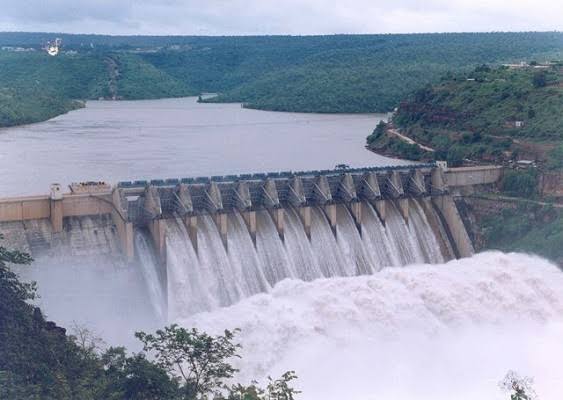
Godavari is the longest river ( 1,465 km ) with an area of 3.13 lakh sq km among the peninsular rivers. It flows through the states of Telangana and Andhra Pradesh before joining Bay of Bengal. Purna, Penganga, Pranitha, Indravati, Tal and Salami are its major tributaries. Kolleru, a fresh water lake is located in the deltaic region of the Godavari.
Krishna
The river Krishna originates from a spring at a place called Mahabaleshwar in the Western Ghats of Maharashtra. Its length is 1,400 km and an area of 2.58 lakh sq km. It is the second longest Peninsular river Bhima, Peddavagu, Musi, Konya and Thungabhadra are the major tributaries of this river. It also flows through Andhra Pradesh and joins in Bay of Bengal, at Hamasaladeevi.
Kaveri
The Kaveri (also known as Cauvery, the anglicized name) is an Indian river flowing through the states of Karnataka and Tamil Nadu. The Kaveri river rises at Talakaveri in the Brahmagiri range in the Western Ghats, Kodagu district of the state of Karnataka, at an elevation of 1,341 m above mean sea level and flows for about 800 km before its outfall into the Bay of Bengal.
West Flowing Rivers
Narmada
The Narmada River, also called the Reva and previously also known as Narbada or anglicised as Nerbudda is the 5th longest river in India, the largest west-flowing river and largest flowing river of Madhya Pradesh. This river is located in Madhya Pradesh and Gujarat state of India. It is also known as “Life Line of Madhya Pradesh and Gujarat” for its huge contribution to the state of Madhya Pradesh and Gujarat in many ways. Narmada rises from Amarkantak Plateau in Anuppur district Madhya Pradesh.
Tapti
The Tapti River is a river in central India located to the south of the Narmada river which flows westwards before draining into the Arabian Sea. The river has a length of around 700km and flows through the states of Maharashtra, Gujarat and Madhya Pradesh. It flows through Surat, and is crossed by the Magdalla, ONGC Bridge.
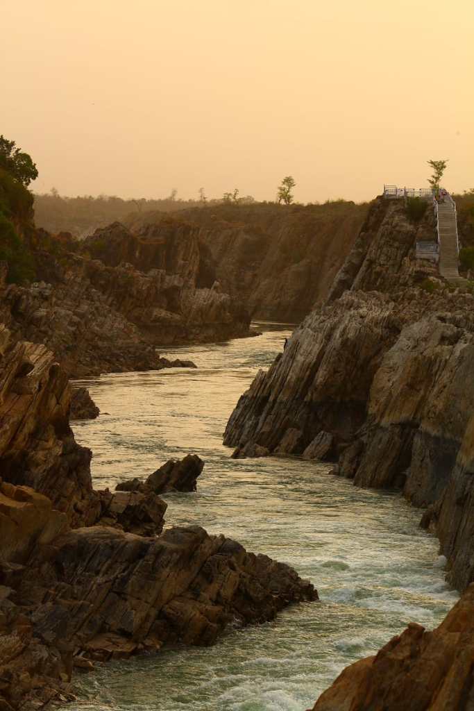
Characteristic of South Indian Rivers
✓Originate from Western Ghats.
✓Short and narrow.
✓Non perennial in nature.
✓Suitable for hydro power generation.
✓Not useful for navigation.

You must be logged in to post a comment.