


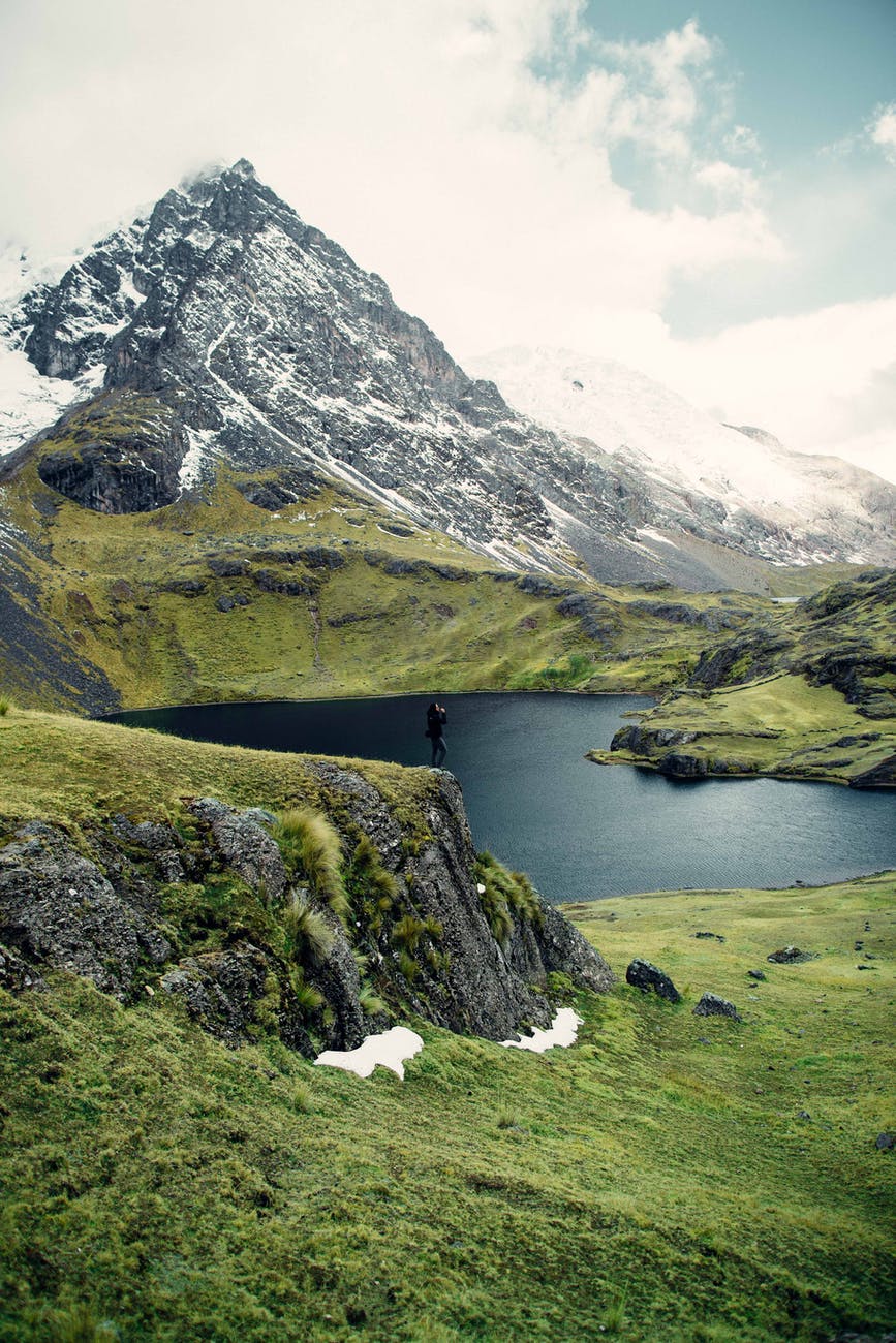
We have all seen mountains or hope to see them, after all they are a very famous holiday destination. All of us certainly have a wonderful mountain destination in our bucket list- be it the Himalayas, The Rockies, The Alps, Mt. Fuji or the Swiss Alps. But have you ever wondered how these mountains came into being? How is it that a flat piece of earth rose so high, almost touching the sky? Well, if you have, then here is the answer. And if you haven’t, even then a little extra knowledge never hurts anybody, right?
So, the mountains were formed millions and even billions of year ago (the oldest one-the Barberton Greenstone Belt in South Africa, is 3.6 billion year old) when the continents were being formed. The most widely accepted theory, currently, believes that the earth’s mantle(the astenosphere layer- a semi-solid) has convection current flowing through them(a result of differential heating- the lighter material rises whereas the denser material sinks ). This current belt in the astenosphere moves with it the lithosphere(continental crust, oceanic crust and the top-most part of mantle(upper mantle)). These movements in the lithosphere are the movements of continents and oceans that lead to earthquakes , volcanoes, tsunamis and the formation of volcanic islands, plateaus (all these for some other day) and fold mountains as well as volcanic mountains.
These convection currents move with them large pieces of land, ocean or both and these large pieces are termed as tectonic plates. There are currently 7 major and some minor tectonic plates. The major tectonic plates are-
- Indo-Australian plate
- North American plate
- South American plate
- Pacific plate
- Antarctic plate
- Eurasian plate
- African plate
The minor plates are-
- Fillipino plate
- Nazca plate
- Scotia plate
- Caribbean plate
- Indian plate
- Arabian plate
- Cocos plate
- Juan-de-fuca plate
Let us first see the types of mountains. There are 4 types of mountains-
- Fold mountains- These mountains are formed when one tectonic plate folds over the other, due to collision of two plate boundaries. The plates need not be continental as is in the case of the Alps , the Atlas and the Himalayas. An oceanic and a continental plate boundary collision can also form a fold mountain. The examples of such fold mountains are the Rockies and the Andes
- Block mountains- These mountains are formed due to the diverging plate boundaries. When two boundaries diverge, it creates a crack on the surface between them known as a rift. Later, the surrounding raised plate undergoes erosion and takes the shape of a mountain. Examples are The East African Rift Valley, The Rhine Valley, The Vindhyas and Satpuras .
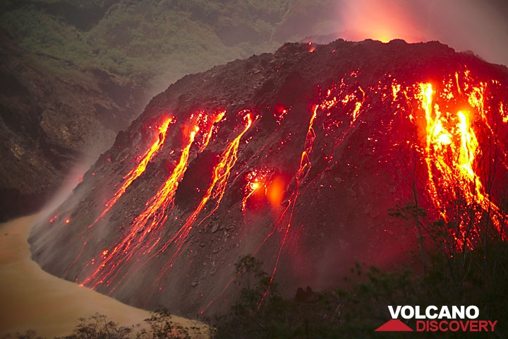
- Volcanic mountains- Mountains formed due to fissures in the earth’s surface, that lead to release of magma. The examples are Mt. Fuji, Mt. Mayon. Also, they are known as mountains of accumulation.
- Residual mountains- Mountains that are either formed due to the erosion of existing mountains (denudation) or plateaus(dissection) by agents such as rivers, winds, glaciers. Examples are Mt. Manodnock (The Appalachians) , Highlands of Scotland, Scandinavia and Deccan Plateau.
The movement of the tectonic plates creates one of the above or even a combination of the above kind of mountains. Stay tuned for the next part to know how are many of the world mountains created and where are they located? Is there something common about their location? What is the reason for exceptions?


You must be logged in to post a comment.