The Geography of The Rugged Karakoram

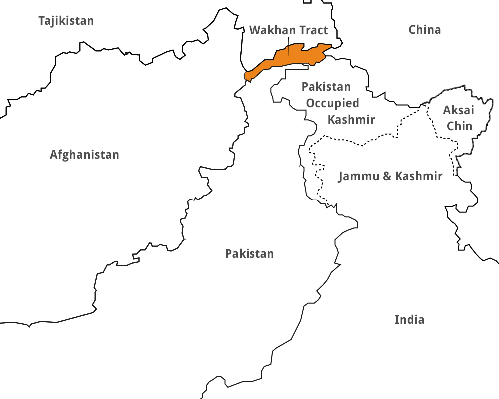
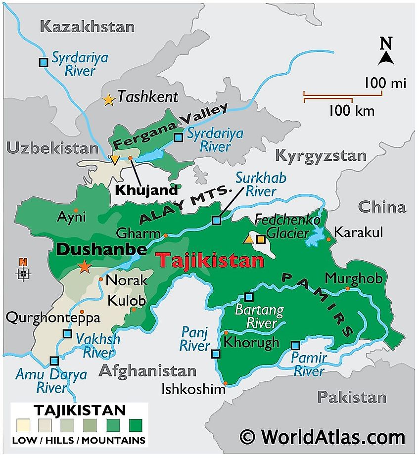
The Karakoram is a mountain range traversing the borders of China, India and Pakistan, with the northwest extremity of the ranges even extending as far as Afghanistan and Tajikistan. The ranges begin in Afghanistan’s  Wakhan Corridor in the west, encompasses the majority of Gilgit-Baltistan, also known as PoK(Pakistan occupied Kashmir) and extends into Ladakh in India and the disputed Aksai Chin region(controlled by China). They are the second highest mountain range in the world.

Etymology

The name ‘Karakoram’, comes from the local Turkic language. ‘Kara’ meaning Black and ‘Koram’ meaning Gravel. The early European travellers also used the term ‘Muztagh’ which meant “Ice Mountain” for the range now known as Karakoram. The word is still used in the names of the peaks of the range. In traditional Indian geography the range was known as ‘Krishnagiri'(black mountains).

Geography

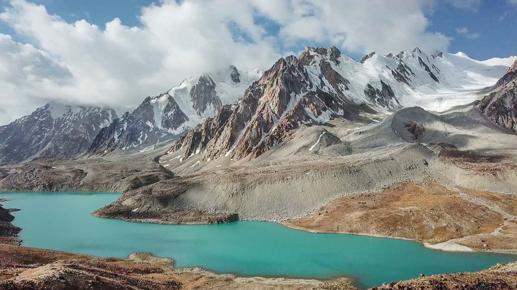
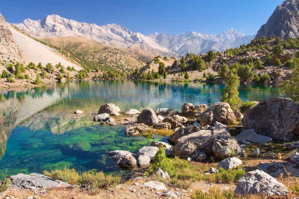
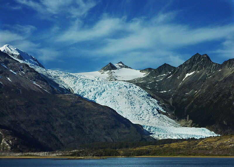
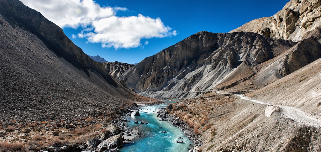
The range is about 500 km(311 miles) in length and is the most heavily glaciated part of the world outside the polar regions.

The Karakoram is bounded on the east by the Aksai Chin plateau, on the northeast by the edge of the Tibetan(Xizang) Plateau and on the north by the river valleys of the Yarkand and Karakash rivers of China’s Xinjiang Autonomous Region beyond which lie the Kunlun Mountains. At the northwest corner lie the Pamir Mountains

The southern boundary of the Karakoram is formed, west to east, by the Gilgit, Indus and the Shyok Rivers, which then separate the range from the northwestern end of the Himalayas proper. These rivers flow northwest before making an abrupt turn southwestward towards the plains of Pakistan. At the middle of the Karakoram range is the famous Karakoram Pass, which used to be a part of the historic trade route between Ladakh and Yarkand, which connected to the Silk Road from East Asia to Europe, that is now inactive.

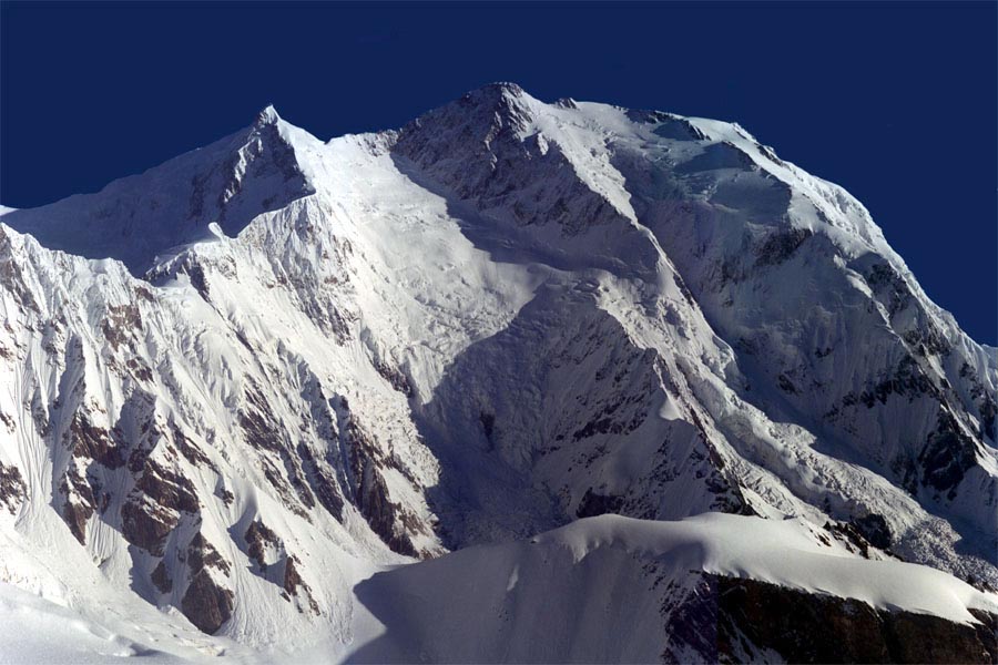
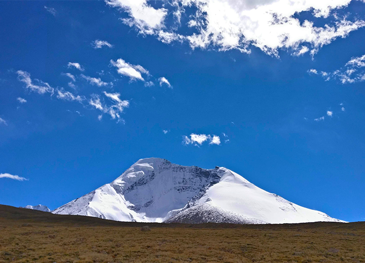
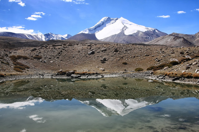
Highest Peaks of the Range

  • K2
  • Gasherbrum I
  • Broad Peak
  • Gasherbrum II
  • Gasherbrum III
K2

Passes

  • Kilik Pass
  • Khunjerab Pass
  • Karakoram Pass
  • Shimshal Pass

https://www.britannica.com/place/Pakistan/The-Himalayan-and-Karakoram-ranges

The Great Emu War

The ‘Emu War’, also known widely as the Great Emu War, was a nuisance wildlife management military operation undertaken in Australia in the later part of 1932 to address public concern over the number of Emus that were said to be running amok in the Campion district of Western Australia. The unsuccessful attempts to curb the population of emus, employed soldiers armed with Lewis guns, a World War 1 era light machine gun, making the local media to adopt the name “Emu War” when referring to the incident. 

While a number of emus were killed, the emu population persisted and continued to wreak havoc by crop destruction.

Background

Discharged Australian WW1 veterans were given lands to take up farming by the Australian government within Western Australia. The difficulties farmers were already facing increased by the arrival of as many as 20,000 emus. Emus regularly migrate after their breeding season, heading to the coast from the inland regions. With the lands cleared and additional water supplies being made available for the livestock by the Western Australian farmers, the Emus found that the cultivated lands were a good habitat for them, and began to intrude into farm territory. The veteran farmers began taking up arms against the birds.

The War

Military involvement was due to begin in October 1932. The “war” was conducted under the command of Major G. Meredith of the Seventh Heavy Battery of the Royal Australian Artillery. They moved in formation behind the birds, and the birds answered their organised assault with inspired chaos, scattering themselves in all directions to minimize the casualties. The army tried gunning them down in moving trucks, but found they could not aim properly at their speedy foes.

A second campaign was mounted by Major Meredith on 13 November 1932, killing 40 emus. Two days later, barely any, but about a month later its was reported that 100 emus were being killed every week. The commanding officer found that it took 10 bullets to bring down every one emu, which was a pretty dismal effort. He was recalled the Great Emu War had finally come to an end.

Aftermath

Despite the problems encountered with the culling of the emus, the farmers once again requested military assistance in 1934, 1943, and 1948, only to be turned down by the Australian government. Instead, the bounty system that had been initiated in 1923 was continued, which proved to be effective as 57,034 bounties were claimed over a six-month period in 1934 alone.

https://blogs.scientificamerican.com/running-ponies/the-great-emu-war-in-which-some-large-flightless-birds-unwittingly-foiled-the-australian-army/

https://www.atlasobscura.com/articles/the-great-emu-war

The Calciopoli Scandal

‘Calciopoli’ was a match fixing scandal in Italy’s top professional football league, Serie A and to a lesser extent Serie B. The scandal was uncovered in May 2006, when a number of telephone calls showed relations between team managers and referee organizations during the 2004-05 and 2005-06 seasons, being accused of selecting favorable referees. This implicated then league champions Juventus and several other teams including AC Milan, Fiorentina, Lazio, and Reggina. In July 2006, Juventus were stripped of the 2004–05 title, and were downgraded to last place in the 2005–06 championship, the title was subsequently awarded to Inter Milan, and Juventus were relegated to Serie B.

On one end of the line were key figures in Italian football, at the other were refereeing officials. They were allegedly being pressured to favor certain clubs, with the claims only uncovered by chance as prosecutors were investigating claims of doping at Juventus. Then Juventus general manager Luciano Moggi was at the center of the scandal, though he has always denied any wrongdoing. Moggi, Juventus chairman Antonio Giraudo, Italian football federation (FIGC) president Franco Carraro and vice-president Innocenzo Mazzini ended up resigning from their respective roles. The name ‘Calciopoli’, which could be adapted in English as “Footballgate”, by analogy with the infamous Watergate Scandal.

The Punishments

The sanctions
Original punishmentFinal punishmentOther punishments
JuventusRelegated to Serie B, -30 pointsRelegated to Serie B, -9 pointsStripped of 2004-05 Serie A title, downgraded to bottom of 2005-06 table
AC Milan-15 points-8 pointsDeducted 30 points from 2005-06 season
FiorentinaRelegated to Serie B, -12 points-15 points in Serie AOut of 2006-07 Champions League
LazioRelegated to Serie B, -7 points-3 points in Serie AOut of 2006-07 Uefa Cup
Reggina-15 points-11 points€100,000 fine

The relegation of Juventus also prompted a mass exodus of important players such as Fabio Cannavaro, Lilian Thuram, and Zlatan Ibrahimovic. Some thirty other Serie A players who participated at the 2006 FIFA World Cup opted to move to other European leagues in the aftermath of the scandal.

The clubs demoted to Serie B were initially expected to have a difficult road back to the Italian top flight. They would have had to finish in the top two of Serie B to be assured of promotion and also had to avoid finishing in the bottom four to avoid being relegated to Serie C1. Juventus, for example, were initially docked 30 points, the equivalent of having ten wins reversed. This made it very likely that they would not return to Serie A until 2008 at the earliest. The point penalty, however, was reduced to nine points, giving Juventus a fighting chance at promotion.

Juventus went on to win Serie B in the 2006–07 season and made a swift return to Serie A.

https://www.bbc.com/sport/football/49910626

The Bosman Ruling – Football’s Landmark Moment

The Royal Belgian Football Association v Jean-Marc Bosman (1995) ( also known as the Bosman ruling) is a 1995 European Court of Justice decision concerning freedom of movement for wokers and association and direct effect of article 39. The case was an important decision on the free movement of labour and had a profound effect on the transfers of footballers, and by extension players of other professional sports.

Bosman’s Fight

In 1990, a 25-year-old Belgian midfielder Jean-Marc Bosman was coming to the end of his contract at Belgian side RFC Liege. His two-year stint had not worked out as he had first hoped, and he was offered an improved contract by French second division side Dunkirk. Before the Bosman ruling, a player could not leave at the end of their deal unless the parent club agreed to let him go on a free, or that club received a pre-agreed fee from a buying club. Liege demanded a fee which Dunkirk was not agreeing to and when the deal fell through, Bosman’s wages at Liege were cut by around 75 per cent.

Bosman then started a legal fight alongside lawyers Luc Misson and Jean-Louis Dupont, and brought the case to the European Court of Justice against the Belgian Football Association, RFC Liege and UEFA, citing the 1957 Treaty of Rome, which guaranteed the freedom of movement for players anywhere in Europe. Bosman was banned by the Belgian FA for refusing to sign the cut-price contract offered by Liege and only had brief spells at Saint Quentin and Saint Denis in France, along with several other lower league clubs, but ultimately he prevailed. Now the players, instead of the clubs had the power which gave rise to the player’s agents having power as well.

Bosman’s Victory

The ruling allowed a player to leave a club on a free transfer as soon as his contract expired, meaning they had the leverage to demand a huge signing-on bonus and salaries from new clubs to make up for the absent transfer fee with the club. Players coming to the end of their contract could also ask for more money from their current club, who would naturally fear losing that player on a free if his demands were not met.

The Players that benefited

There are many high profile players who have benefited from this ruling like Edgar Davids and Patrick Kluivert(Ajax to AC Milan, 1996 and 1997), Steve McManaman (Liverpool to Real Madrid, 1999), Sol Campbell(Tottenham Hotspur to Arsenal, 2001) and more recently Robert Lewandowski (Dortmund to Bayern, 2014), Andrea Pirlo (AC Milan to Juventus, 2011) and Michael Ballack (Bayern to Chelsea, 2006).

https://www.skysports.com/football/news/11096/10100134/how-the-bosman-rule-changed-football-20-years-on

Football’s Feeder Clubs

A ‘feeder club; in football is a club which is tasked to provide training and experience to young players. This training comes with a formal or even an informal agreement which involves successful players to move on to a much bigger club /higher level and to allow young, foreign players to gain a work permit, or for business purposes, such as merchandising. The bigger club is usually a major level club that is the ‘Parent team’

Clubs, who have agreements with smaller clubs to be their feeder/sister teams, usually send their youth players on loan to gain valuable first team experience there. This form of football ecosystem is a smart, efficient and sustainable way to nurture talents as the parent teams’s players can gain precious experience and the lower level teams can have talented youngsters on their books with whom they can achieve their seasonal objectives.

There are many significant clubs in world football who have tie ups with such other clubs, most famous being the City Football Group whose main team is Manchester City and has stakes in clubs like MLS’s New York City FC, Melbourne City FC, Japanese J1 League club Yokohama F. Marinos, Uruguay’s Montevideo City Torque, Spanish Segunda division club Girona FC, Chinese club Sichuan Jiuniu, ISL’s Mumbai City FC, Belgian club Lommel SK and French club Troyes AC.

Another famous example is Red Bull’s network of football clubs. The Austrian energy drink brand’s primary club is Bundesliga’s RB Leipzig, based in Leipzig, and other clubs such as Austrian Bundesliga’s RB Salzburg, New York Red Bulls, Red Bull Brasil, Red Bull Bragantino and Red Bull Ghana. RB Salzburg has it’s own feeder club, FC Lifering which competes a tier below. All Red Bull club’s train their player’s to play an attacking, attractive style of Football which help’s the player’s integration once they transfer to another Red Bull club.

There are other club’s who have tie up’s like above like recently promoted Premier League club Watford, whose owner businessman Giampaolo Pozzo also owns Granada and Serie A club Udinese and there is constant movement in terms of transfers between the three clubs. Chelsea, a club famed for it’s myriad of talented youth players and criticism for it’s abuse of the loan system which has seen the club loaning an army of players every season has a feeder club relationship with the Dutch Eredivisie club Vitesse Arnhem where Chelsea loans many of its players.

How the Sahara is Getting Bigger

The Sahara, the world’s biggest hot desert, the third largest desert overall, is getting even bigger. In fact, it is currently about 10 percent larger than it was nearly a century ago, and scientists suggest that climate change is partly responsible.

To qualify as a desert, a region has to see 4 inches (100 mm) or less of rainfall per year. The Researchers looked at rainfall data from across Africa recorded between 1920 and 2013. They found that more of the area around the Sahara — about 10 percent more — qualified as desert, making the largest hot desert even larger.

At the southern border of the Sahara lies a semi-arid grassland known as the Sahel. It’s a buffer zone between the harsh Sahara and the fertile savannas in southern Africa, particularly Sudan and Chad. Lake Chad, for example, has been getting smaller due to climate fluctuations and because its used to irrigate crops. The lack of rainfall does not help the situation.

The study also points out that it’s probably not just the Sahara that’s expanding. Deserts around the world are likely experiencing the same climate changes and growing larger as well. Deserts are all formed pretty much the same way: Warm air rises in the tropics, which are near the equator, then spreads toward the poles, a frightening prospect fot the locals.

https://www.livescience.com/62168-sahara-desert-expanding.html

The Great Game

The term ‘Great Game’ was used to describe the rivalry that occurred between the British Empire and the Russian Empire for most of the 19th century and beginning of the 20th century as their spheres of influence in India, Afghanistan and the Tibetan Kingdom moved the two  powers closer to one another in South-Central Asia. It also had direct consequences in Persia(Iran) and British India.

History

The Great Game is believed to have begun on 12 January 1830 when Lord Ellenborough, the President of the Board of Control for India, tasked Lord Bentinck, the Governor General, with establishing a new trade route to the Emirate of Bukhara. Britain was fearful of Russia invading India to add to the vast empire that Russia was building. Britain intended to gain control over the Emirate of Afghanistan and make it a protectorate, and to use the Ottoman Empire, the Persian Empire, the Khiva Khanate, and the Emirate of Bukhara as buffer states between both empires. This would have protected India and also key British sea trade routes by stopping the Russian Empire from obtaining a port on the Persian Gulf or the Indian Ocean. Russia proposed Afghanistan to be the neutral, buffer zone. As a result, there was a deep atmosphere of distrust and the talk of war between the two major European Empires.  Britain made it a high priority to protect all the approaches to India, getting involved in a geopolitical chess and the “great game” is primarily how the British did this. The British Empire used Afghanistan as a buffer state to protect all approaches to British India from a Russian invasion. British concern about the Russian influence on Afghanistan led to the First Anglo-Afghan War (from 1838 to 1842) and the Second Anglo-Afghan War (from 1878 to 1880). The Third Anglo-Afghan War began May 1919 and lasted for a month. British Empire no longer had influence on Afghanistan’s foreign affairs after an armistice was signed on August 8, 1919.

Wakhan Corridor

The Geographical effects of the great game are still felt to this day by the formation of the Wakhan corridor, which was formed by an 1893 agreement between the British Empire (British India) and Afghanistan, creating the Durand Line. This narrow strip was to act as a Buffer zone between the Russian and the British Empires, and this geographical anomaly still exists to this day, as part of Afghanistan.

The end of the Great Game

Many Historians consider the end of the Great Game to be the 10 September 1895 signing of the Pamir Boundary Commission protocols and the border between Afghanistan and the Russian empire was defined.

https://www.loc.gov/ghe/cascade/index.html?appid=a0930b1f4e424987ba68c28880f088ea

Air Pollution and India

According to the World Health Organisation(WHO), air pollution kills an estimated seven million people worldwide every year. The same data shows that 9 out of 10 people breathe air that exceeds WHO guideline limits that contains high levels of pollutants. These deaths occur as a result of increased mortality from stroke, heart disease, chronic obstructive pulmonary disease, lung cancer and acute respiratory infections.

India faces a severe Pollution problem. According to a World Air Quality report from Bloomberg, 6 of the top 10 most polluted cities in the World are in India. The report also stated that New Delhi has the worst air pollution of any capital city, a damning indictment of the country’s problems with pollution.

Air pollution is a big problem in India – researchers say it kills more than 1 million in the country each year. On average its cities exceed World Health Organization (WHO) guidelines for the amount of particulate pollution (PM2.5) in the atmosphere by a whopping 500%, according to the report.

New Delhi’s problems are caused by fumes from its sclerotic traffic and worsened by diesel generators and the burning of fossil fuels in cooking by the less-well-off families. Industry plays its part too, as does the burning of waste and farmers setting fields alight after crops are harvested.

Future

On the bright side, country is making some progress, thanks to its National Clean Air Program which is aiming to reduce its air pollution levels by up to 30% by 2024. India is also planning the world’s largest expansion of renewable energy by 2022. 

https://www.weforum.org/agenda/2020/03/6-of-the-world-s-10-most-polluted-cities-are-in-india/

Best of Sikkim’s Alpine Lakes

There are many alpine lakes in sikkim, like the Menmecho, Khecheopalri, Samiti and Green lakes. I will be writing about the three of the most beautiful lakes of the small himalayan state.

Lake Tsomgo

Locally known as the Changgu Lake is a glacial lake in the East Sikkim District, some 40 kilometres (25 mi) from the capital Gangtok. Tsomgo is one of the most alluring lakes in Sikkim that one cannot miss to explore. Nestled amidst lofty peaks and majestic glaciers, this oval shaped lake spreads around 1 km and 15m deep in the valley. The lake remains frozen during the winter season.

Lake Tsomgo

Lake Karthok

One among all the sacred lakes of Sikkim, the Karthok Lake is known to be the most appealing and serene lakes in the state. Every year, the locals hold a grand celebration is held beside this holy lake in order to thank the Gods for bringing prosperity to their lives.

Lake Karthok

Lake Gurudongmar

Gurudongmar Lake is one of the highest lakes in the world and in India, located at an altitude of 5,430 m(17,800 ft) lies 190 km away from Gangtok. The lake is considered sacred by Buddhists, Hindus and Sikhs. It is named after Guru Rinpoche, the founder of Tibetan Buddhism who visited the lake in the 8th century.

Lake Gurudongmar

The Surreality of the Pamirs

Amongst the World’s highest ranges, the majestic Pamir Mountains are situated between Central Asia, South and East Asia. They are located at the junction of the Himalayas with the Karakoram, Hindu Kush and the Tian Shan ranges.

Geography

The lie mainly in the Gorno-Badakshan autonomous region of Tajikistan. The connect the Tian Shan mountains to the North, along the Alay valley of Kyrgyzstan. To the south, they border the Hindu Kush mountains along Afghanistan’s famous anomaly of a province, the Wakhan corridor. To the east, they extend to the range that includes China’s Kongur Tagh, the Pamir’s highest point,  separated by the Yarkand valley from the Kunlun Mountains. The Panj and the Pamir are the major rivers that flow through the ranges.

The three highest mountains in the Pamirs core are the Ismoil Somoni (known from 1932 to 1962 as Stalin Peak, and from 1962 to 1998 as Communism Peak), 7,495 m (24,590 ft), Ibn Sina (still unofficially known as Lenin Peak), 7,134 m (23,406 ft); and Korzhenevskaya ,7,105 m (23,310 ft). Kongur Tagh lies in China in the region known as the ‘Eastern Pamirs’.

There are many glaciers present in the ranges. The 77 km long Fedchenko Glacier is the longest in the former USSR and the longest outside the Polar regions. The majestic lake Karakul is located in the nearby region.

Climate

The ranges are covered in snow throughout the year and has mainly alpine climate, the Pamirs are famous for having long and bitterly cold winters, and short, cool summers. Annual rainfall is about 130 mm (5 in), which supports grasslands but very few types of trees.

History

Historically, the Pamir Mountains were considered a strategic trade route between Kashgar(Xinjiang, China) and Kokand(Uzbekistan) on the legendary Silk Road, a prehistoric route, and had been subject to numerous territorial conquests. The Northern Silk Road connected the ancient Chinese capital of Xi’an over the Pamir Mountains towards the west to emerge in Kashgar before linking to ancient Parthia.

Potential

The region has massive tourism potential and many hiking enthusiasts, travelers, mountaineers and adventure seekers do visit this massive region. The region’s importance will only grow further due its unique strategic location.

https://uncorneredmarket.com/pamir-mountains-beginners-guide/#langar

https://www.worldatlas.com/articles/pamir-mountains-natural-wonders-of-asia.html

The Beauty of Tierra del Fuego

Tierra del Fuego, which stands for “Land of Fire” in Spanish, is an archipelago or a cluster of islands in the southern most tip of South America. It is located across the Strait of Magellan.  The archipelago consists of the main island, Isla Grande de Tierra del Fuego and a group of many islands, including Cape Horn and Diego Ramirez Islands. Tierra del Fuego is divided between Chile and Argentina and is located close to the perennially frozen continent of Antarctica. Tourism is a major component of the local economy.

Brief History

The History of Tierra del Fuego ranges from settlement of the region by the local Yaghan and the Selk’nam people to it’s discovery by the infamous Portuguese explorer Ferdinand Magellan on whom the strait of Magellan is named after, to Spanish European colonization and the genocide of the natives during the gold rushes in the region.

In recent history, both countries have explored the region for oil extraction and formulated their Antarctic claims. In the 1960’s and 70’s there was even a threat of military conflict looming between the two countries over a few islands which almost led to an Argentine invasion of Chile in 1978. Ths very threat of war caused the Chilean regime of Dictator Augusto Pinochet to give logistical support and information to the British during the Falklands War of 1982.

Geography

The archipelago consists of the main Isla Grande de Tierra del Fuego island. Its westernmost part belongs to Chile and the rest to Argentina. The Chilean part is the region named Magallanes y Antarctica Chilena whose capital is Punta Arenas. The village of Puerto Toro located here is probably the Southernmost village in the world.

The eastern part of the main island, and a few small islands in the Beagle Channel, belong to Argentina. They are part of the Tierra del Fuego, Antarctic territory and South Atlantic islands province. The capital is Ushuaia, whis claims the title of the southernmost city of the World.

Flora & Fauna

Only few Islands here forests which are classified as Magellanic subpolar. Trees like winter’s bark, Lenga beech, Magellan’s beech, Northofagus Antarctica etc are found here.

The most notable animals found here are Sea Gulls, Guanacos, Foxes, Kingfishers, Condors, Penguins, Owls, Austral Parakeets, North American Beavers, Sea Lion, Leopard Seals etc.

https://www.adventure-life.com/patagonia/articles/tierra-del-fuego-culture

Deadliest Warrior

Deadliest Warrior is a tevelsion program in which information on historical or modern warriors/groups and their weapons are used to determine which of them is the “deadliest” based upon various tests performed during each episode. The show was known for its use of data compiled in creating a dramatic simulation of the warriors’ battle to the death. The simulations were played for multiple times until a clear winner was found. The show had 3 seasons and first aired on History TV 18 from 2009.

The Format

Episodes begun with the introduction of either two types of historical or contemporary warriors or two historical individuals. Two teams of experts were brought in to explain the ‘character’s’ history, weapons, cultures, tactics and special factors. Their general fighting philosophies were explored. The explanations were accompanied by segments showing actors performing dramatized scenes that are meant to depict the daily lives of the actual fighters. The different weapons were organized into four categories (and as of season 3, three categories) which were short range, mid range, long range, and special weapons.

The teams testes the assigned weapons on various targets including human silhouette targets, mannequins, pig and cattle carcasses, and ballistic gel torsos, heads, limbs, etc. Additionally, pressure mats, accelerometers, chronometers, and other measuring tools are used to test such figures as the striking force and speed of each weapon which were devised by Biomedical engineer Jeff Desmoulin.

The data collected from these weapons tests was fed into a computer simulation based on an unreleased commercial game engine to determine the average winner of one thousand battles. The winner of the episode was termed the ‘Deadliest Warrior’.

Episodes

The show ran for 3 seasons. Season 1 episode list had the likes of Apache v Gladiator, Spartan v Ninja, Green Berets v Spetsnaz.

Season 2 included:

-SWAT v GSG-9(German Special Forces)

-Roman Centurion v Rajput Warrior

-Navy Seals v Israel Defence Forces commando.

Season 3 included:

  • George Washington v Napoleon Bonaparte
  • Genghis Khan v Hannibal
  • French Foreign Legion v The Gurkhas

Shows of Old – Don’t Tell My Mother

Don’t Tell My Mother was a television program hosted by Diego Bunuel and shown on the television channel Nat Geo but currently available on subscription channel Nat Geo Adventure which is primarily a documentary/travel show.

About the Host

Diego Bunuel is a French-American Foreign Correspondent for French tevevision. He has covered countries like Iraq, Afghanistan and the Democratic Republic of the Congo. Every time he left for one of his journeys, he would tell his production crew in the Paris office, “Don’t tell my mother I am in Colombia, it makes her really nervous.”  Where the show got it’s iconic name. After a few years of traveling again and again, Buñuel realized that the international news coverage, which he was part of, only focused on the worst headlines possible.

Thus, Buñuel embarked on a rather unusual effort at the time, to talk about countries that make headlines, but instead of focusing on the same, basic or even the negative stories, he took a look at a more subtle and positive vision of these countries, full of culture, people, interests that rise high above the usual daily news reports.

Locations

The show has traveled all around the globe. In season 1, which started from 2007, the show takes place in countries like Colombia, Afghanistan, Congo, Pakistan, North Korea and the Balkans, where he busts some of the stereotypes plaguing these countries.

In the following seasons which has four in total, the locations include mainly cities like Johannesburg, Delhi, Manila, Tokyo, Lagos, Beirut and countries like Somalia, Kazakhstan, Russia and Thailand. The last episode aired on 20th October 2013, taking place in Ukraine.

https://www.natgeotv.com/in/dont-tell-my-mother/about

Spiti Valley

Spiti Valley is a cold desert mountain valley located high in the Himalayas in the north-eastern part of the Northern Indian State of Himachal Pradesh namely the state of Lahaul & Spiti. The name “Spiti” means “The middle land”, i.e. the land between Tibet(Xizang) and India. Spiti is sometimes considered as an extension of Ladakh as both regions share similar geography, cultures and even the ruling Royal Family.

The local population follow Vajrayana Buddhism similar to that found in the nearby Tibet and Ladakh. It is different from Therawada Buddhism found in many South East Asian countries. The valley and surrounding region is one of the least populated regions in the country and is the gateway to the northernmost reaches of the nation. Along the northern route through Manali or Keylong via the Rohtang Pass or Kunzum Pass respectively. The state’s capital is Kaza, which is situated along the Spiti river.

The Lahaul and Spiti district is surrounded by high mountain ranges. The Rohtang Pass, at 13,054 feet (3,979 m), separates Lahul and Spiti from the Kullu Valley Kunzum Pass cuts of Lahaul and Spiti from each other. There is a road that connects the two divisions, but is cut off frequently in winter and spring due to heavy snowfall in the area. The Whole state is difficult to access throughout Winter, so the ideal months to visit are summer and monsoon although the road through Kinnaur is open throughout most of the year.

Chandtratal Lake

Culture

Spiti valley is a research and cultural center for Buddhists. Highlights include the majestic Key Monastery and Tabo Monastery which is one of the oldest monasteries in the world and a favorite of the Dalai Lama. The Pin Valley is also home to other different Buddhism sect.

Places to See

Key Monastery

The include:

  • Dhankar Lake
  • Hikkim Village which has the highest altitude post office in the world.
  • Kaza
  • Kibber
  • Pin Valley National Park
  • Nako
  • Tabo
  • Chandratal Lake
  • Langza village
  • Komik village
  • Mud Village
  • Gue Village

Kang Yatze

Kang Yatze or Kang Yatse (elevation 6,496 metres (21,312 ft)) is a mountain located at the end of the Markha Valley in the Himalayas in Ladakh. It is located in the Hemis National Park, not long away from the capital Leh.

The mountain has two summits. The true eastern summit is higher at 6,400 m but requires an extremely technical traverse across a knife-edge ridge for the mountaineers wishing to conquer it. The lower western peak (Kang Yatze II) is easier and more frequently climbed, although it is lower at about 6270m.

Kang Yatze II

The lower peak is mainly done from mid-June till September end. There are two approach routes to this peak. One is from Chilling and trekking through the Markha Valley, passing the villages of Skyu, Markha and Hankar. There is another approach that starts from the village of Shang-Sumdo and steeply climbs up the Markha Gorge passing by the campsite of Chyuskirmo, Lartsa and then climbing the Gongmaru La(Pass), a 5130 meter high pass to reach Nimaling. This peak is easier compared to the main lower western peak and does not require any technical mountaineering skills. From the very top, distant peaks of East Karakoram ranges are visible on a clear day.

Kang Yatze I

Kang Yatze I or the Eastern summit requires an intermediate Camp to be set up. The climb to Camp 1 is a short one but over a steep scree and cliffs zone. There is an alternative route following the Glacier where Camp 1 can be set as well. From Camp 1, the climb gets technical. The last 500 meters of the peak is very steep and mandatory fixed ropes.

https://www.bikatadventures.com/Home/Itinerary/Kang-Yatse-II-Trek