Indian monsoon, the most prominent of the world’s monsoon systems, which primarily affects India and its surrounding water bodies. It blows from the northeast during cooler months and reverses direction to blow from the southwest during the warmest months of the year. This process brings large amounts of rainfall to the region during June and July.
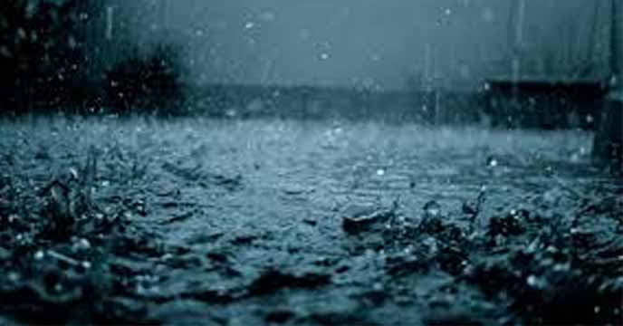
After meagre rains were received, Mumbai saw a downpour through the night and in the early hours of July 16th, leading to 27 roads being inundated, 85 bus routes diverted and 250 people evacuated from the Mithi River banks. Extremely heavy rain was recorded at the India Meteorological Department (IMD) Santacruz observatory at 253.3mm, which is the second highest 24-hour rainfall in a decade.
In 2019, the city had recorded 375.2mm which was the highest 24-hour rain in the months between 2015 and 2020. In 2018, it was 184.3mm, 163.4mm (2017), 114.5mm (2016) and 61 mm in 2015.
The meteorological department classifies 15.6-64.4mm in 24 hours as moderate rain; 64.5-115.5mm rain as heavy; 115.6-204.4mm as very heavy; and over 204.5mm as extremely heavy rain. Moderate to heavy rain is likely in the city and suburbs with the possibility of heavy to very heavy rain at isolated places, said the IMD.
The Extremely heavy rain left 27 city roads waterlogged— areas like Hind Mata, Gandhi Market, Sion Road number 24, Wadala Bridge, Chunabhatti, Siddharth Nagar in Goregaon, RCF, Chembur Phatak, Milan Subway, roads leading to eastern freeway. As per the BMC (Brihanmumbai Municipal Corporation) data, between 4am to 7 am, the city recorded 36mm rainfall, 73mm in the western suburb and the highest 75mm in the eastern suburb of Mumbai.
The Mithi River crossed a dangerous mark following which so far about 250 people have been evacuated from Kranti Nagar slum which is located at the bank river. After the rains took a break following the evacuation of people, the water level of the river went down to 2 metres from 3.7 metres. After that, most of the evacuated people returned to their places. The IMD has predicted moderate rain in the city and suburbs with possibility of heavy rainfall at isolated places, the civic official said, adding that the city will witness high tide of 4.08 metres on Friday at 4.26 metres.
Meanwhile, the city of Hyderabad witnessed heavy rains on the night of July 14th, which went on till the next morning. According to the IMD, Hyderabad records, at 69mm, this day was the third rainiest July day for Hyderabad in the last 10 years. The city recorded 115.1mm of rain on July 21, 2012 followed by 86.4mm on July 12, 2013. It was after seven years that Hyderabad witnessed this kind of rain in 24 hrs.
Several localities in the city, including Hayathnagar, Uppal, Saroornagar and Saidabad received heavy rains overnight. Meanwhile, Bandlaguda, Uppal received the maximum rainfall of 212.5 mm, followed by Vanasthalipuram, which witnessed 192.3 mm rain. Kapra, Serilingampally, Khairatabad, Golconda and Marredpally also experienced moderate rains.
Several other districts including Rangareddy, Medchal-Malkajgiri, Yadadri-Bhuvanagiri, Jangaon, Rajanna Sircilla and Jagtial also received heavy rainfall. Chegunta in Medak received the highest rainfall of 227.5 mm on Wednesday. According to the forecast by Indian Meteorological Department (IMD), Hyderabad, the city will witness cloudy sky throughout the day, accompanied with light showers at isolated places.


You must be logged in to post a comment.